By applying foot traffic analytics and location intelligence techniques it becomes possible to identify urban mobility patterns for the benefit of urban planning, transportation science, and geography.
Foot traffic analytics serve as a key factor in assessing the functionality and rationality of a city’s road network or a company’s distribution center, in terms of spatial structure and connectivity. Discovering the mobility patterns of urban travel provides effective guidance for urban planning and management.
So in order to shape future mobility, cities need to understand their complex mobility ecosystems in their entirety, and this is where analytic tools and big data play a key supporting role.
Also read: “Location Analytics to Optimize Distribution Routes“
The intelligent use of data offers many possibilities to understand, manage and regulate mobility and thereby:
- Evaluate existing infrastructures and examine what-if scenarios, answering questions such as:
- What is the travel demand at different times of the day?
- What is the capacity of a public transport system?
- Are there bottlenecks?
- Will new modes of mobility improve the services of an existing transport network?
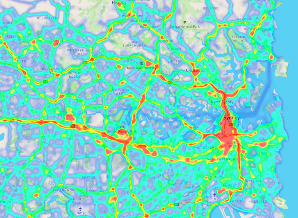
- Illustrate traffic volumes across the entire route network in order to highlight the various hot spots, allowing traffic planners to identify where the potential for infrastructure optimization lies.
- Implement and test regulatory measures and answer questions such as: Will a new congestion charge reduce traffic in the city center? How can parking or driving bans be enforced? Where should an emission-free zone best be established?
- Providing new mobility offers by enriching the range of transport services, corresponding to cities, effectively complementing the existing mobility offer and benefiting both citizens and the environment, allowing cities to assess in advance the effects, possibilities and risks.
- These data are also an important source of information for fleet operators planning to offer new mobility services, allowing them to assess the best conditions for their business model to work.
- Long-term traffic planning to analyze the effects of future construction works that require changes to the layout, such as lane narrowing, lane closures or detours, these tools allow to study possible scenarios and their impact on the traffic situation, even after the works are completed. The result is an improved and permanent traffic flow.
- Short-term traffic planning to simulate how incidents or one-off events affect the road network, making it possible to stabilize the traffic situation, suggest alternative routes, and thereby enhance mobility.
You may be interested in: “Problems with Last-Mile Delivery Processes?“
At PREDIK Data-Driven we offer intelligence solutions to empower mobility and transportation for a cleaner and smarter future, enabling decision-makers in politics, cities, organizations, industries, creating innovating logistics solutions to save time and money, making roads safer, and protect the environment.