Government and municipal entities can leverage location intelligence to optimize strategic planning, improve the quality of public services and optimize their budgets.
What type of solutions does location intelligence provide to governments?
Location intelligence provides public sector decision-makers with the ability to improve strategic planning and operational policies. This data is an indispensable resource for public sector organizations tasked with addressing today’s complex challenges.
With location intelligence, governments can access timely market research, better engage citizens, and ultimately deliver real results.

What can governments accomplish with this tool?
This technique drives decision making and ensures that strategies and plans are based on facts by analyzing trends, developing accurate forecasts, and allocating budgets appropriately, as well as:
- Enrich traditional data with enhanced contextual information, such as location, including the name of a particular place and its demographics.
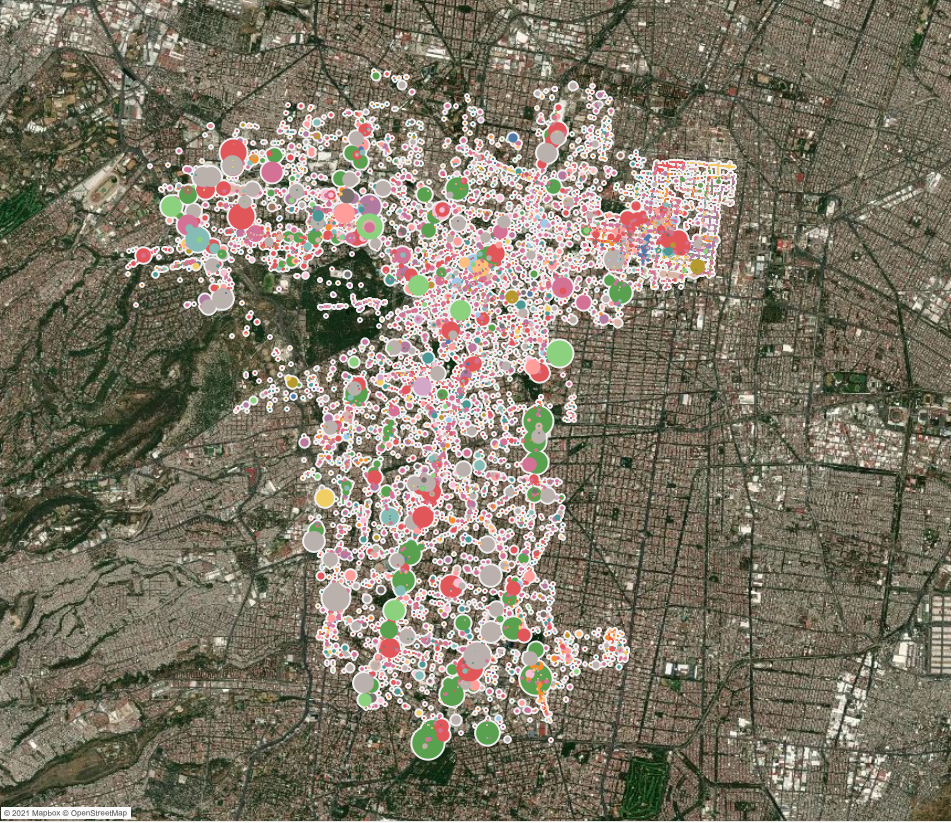
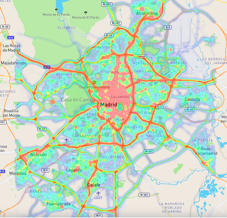
- Visualize key data on maps to make deep analysis and information sharing easier and more efficient than ever before.
- Consistently reduce costs and generate savings, while avoiding generating public concern about cutbacks.
- Adopt new ways of working, such as agile and mobile working.
- Address demographic changes.
- Improve collaboration with public service agency partners, such as police, fire departments and health services.

Use Cases
Security sector: Visualizes and geo-measures criminal activity, predicts where and when it is most likely to occur, locates agents to prevent crime in high-risk areas, tracking crime trends such as frequency, type, severity, similarities, etc.
Municipality taxation: Detects tax evasion and improves the management of taxpayer addresses by classifying them on a digital map, resulting in accurate taxation and overall tax revenue gain, attributing municipal tax-related data such as occupancy changes, helping to quickly identify residents who should pay more.
Waste management: refine waste management processes, checking that all resources are well placed, such as plotting the location of all household waste and recycling centers within a defined area or automatically plotting and estimating estimated driving times to see if all local residents have an easily accessible center, using this data to intelligently organize garbage collection and avoid excess waste or unnecessary trips.
Improve services and citizen engagement: Enable citizens to visit government websites and use the GIS system to find information specific to their exact location on topics such as garbage collection, school catchment areas, local nature reserves, etc., reducing pressure on the service support team and improving the citizen experience.
In addition to providing better services to citizens, the government can use mobility and geographic analysis software to create, maintain and manage centralized catalogs of geospatial data.
Enrich public services: Enable public sector organizations to better meet their legal obligations quickly and easily by providing end-users, both internal and public, with access to the right information, in the right format, on the right platform, at the right time.
PREDIK Data-Driven has extensive experience working with leading public sector organizations globally, helping to fill technology gaps by providing robust Big Data solutions for any government’s needs.

