Geospatial Data for Real Estate Market
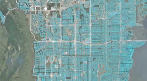
Through solutions based on the analysis of satellite photos and machine learning models, it is possible to optimize the process of identifying the best land uses and analyze the areas where a construction project will be developed with a high level of detail, in order to find the optimal location and minimize investment risks. The […]